Coming Home to Spider Meadows, July 2009

A challenged family returns to a home in the wilderness during late July of 2009

Note geographical and grammatical purists conspire to punctuate conversations with comments such as, “Oh, you must know the correct term for the Upper Phelps Creek meadows prior to the uppermost Basin is Spider Meadow. The designation is singular without the plural “s.” OK?” ¡LOL! The greater majority of people, however, stick a wee s on the end as “Spider Meadows” rolls off the tongue with greater ease and verbal grace than “Spider Meadow.” Besides, there are multiple smaller meadows before and especially after the main meadow of the valley separated by little copses and fingers of forest and boulders and riven by small streams. Finally, English is an incredibly dynamic language as it is so expansive and unusually inclusive. So, we shall refer to those lovely high mountain meadows along Upper Phelps Creek as Spider Meadows with an s, thank you.

Mother and Daughter contemplate the Universe. Sunday evening in Spider Meadows, GPW, 26 July 2009. Foto by William.

Continue reading

Beaver Hill Wild

Two crazy parents have fun getting their kid to do a steep, grunt hike up a local classic in the Washington Cascades, Saturday the 25th of July 2009

“I don’t wanna hike. I’m too tired!” Talia, my youngest, says as she lays down in the trail on the way up Beaver Hill. She’s rebelling, fussing, and laughing all at the same time. And she’s game! Tater Tot does make it to the tippity top. Her mom, Kristina, watches patiently before gently nudging her to stand back up. “C’mon, Bug, let’s go!” Kris finally says. Foto by William Bass.

We parked at the Phelps Creek Trailhead. Got out of the minivan to stretch and look around before opening the rear hatch to pull out our packs. The three of us were about to start our backpacking trip up into Spider Meadows when we realized something weird was going on like some kind of spacetime distortion from a shimmery syfy show. Because, what? Where were…hey, our backpacks aren’t in the car. What?!? I was so flabbergasted and confused I even peered up into the bushes. Darn! Where were OUR PACKS! Even peeked underneath the car. Ugh, not there either. OK. How? How could I forget? I’m SO CAREFUL and METHODICAL! It’s how our post-multiple divorce, remarried, extra-blended, postmodern, post-polyamorous family managed our logistics amidst chaos! Truth was we’d forgotten the packs. Nope, I’d forgotten the packs. Me. I failed to doublecheck back at the River House, our base in the Greater Leavenworth-Lake Wenatchee-Plain-Spider Meadow area. My goodness, was I upset! Mad, despondent, but also laughing at the absurdity of it. Deep down I felt grateful, tho, as a menacing tumult of heavy, dark clouds rolled in, the wind blew, and a few raindrops fell. Kristina thought it all ridiculous, and yet so divinely perfect as we didn’t have to camp in the rain. She was more peeved at how grumpy I was. Talia threw back her head and rolled her eyes in her most perfect act of pretend delirium. 

Stormy skies thunder into the Glacier Peak Wilderness here at the Phelps Creek TH where the hike up to Spider Meadows begins.

Continue reading

Exploring Spider Meadows, 2006 & 2007

Two journeys deep into the Glacier Peak Wilderness, one alone with my lover Kristina in August of 2006, and together with our youngest in August of 2007. One was an erotic, lust-drenched, sweaty exploration of high alpine meadows & a rocky mountain pass above a dying glacier. The other was a family misadventure awry with unexpected misery, voracious, nose-stuffing flies, & insane giggles.

*This is unfinished, a work in progress. Most of the pics & associated journals were lost in a house fire. This help builds what remains. Thanks for being here. Enjoy!*

William & Kristina in Spider Meadows. Timed selfie shot from the top of a rock left in the meadows from some long ago avalanche. Sunday 13 August 2006.

Spider Meadows sprawls deep within the Glacier Peak Wilderness. Phelps Creek rushes down the middle of wild copses of dark woods and open mountain meadows to plunge down a gorge of its own making to eventually flow into the Chiwawa River. Glacier Peak is one of Washington State’s still-live stratovolcanoes and dominates as the central giant of the USFS Wilderness Area named after it’s Anglo-American name. The Native American tribes referred to it as DaKobed, among other names. The volcano rises as a giant pyramid cone at the head of the Dakobed Range to a lofty 10,541 feet or 3,213 meters, but one is unable to see it from Spiders Meadows. The meadows is edged by a ring of 8-9,000+ foot-high peaks. During August of 2006 I ventured into the wilderness into what became an alpine celebration of hot, lusty, forest love. A year later, however, proved harrowing and disorienting. Two very different trips! Such is the joyful, tearful, giggly ass messiness of Life!
Continue reading

Solo into the Glacier Peak Wilderness, July 2015

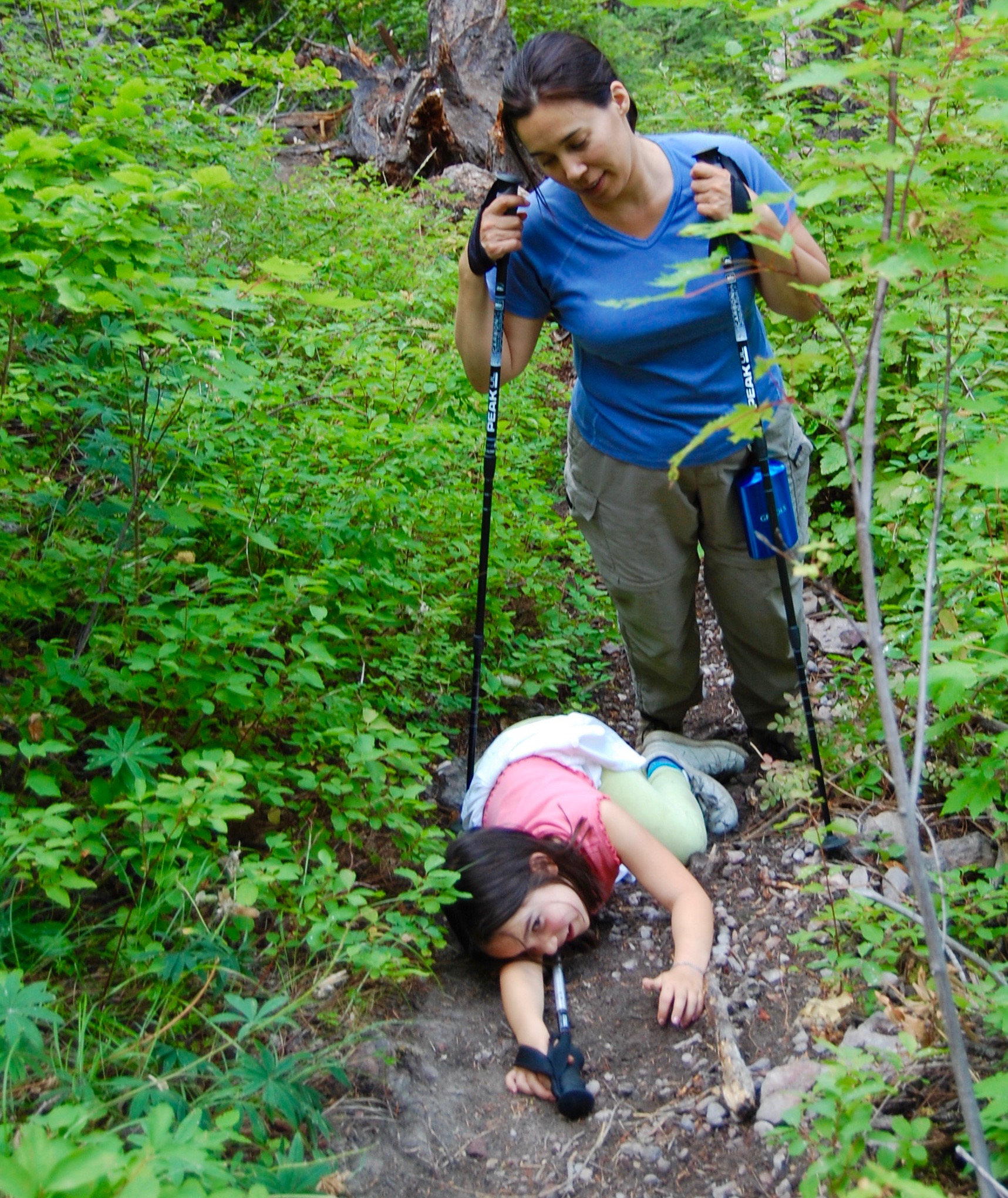
Fotos & Reflections from my 65-mile Solo Backpacking Trip into
the Glacier Peak Wilderness,
Washington State/Cascadia, Monday – Friday 27 – 31 July 2015.

Trinity – Dusty Roads – Spider Meadows – Lyman Lakes – Cloudy & Suiattle Passes – Image Lake – Miners Ridge – PCT – Buck Creek Pass – Liberty Cap – High Pass & Triad Lake – North Fork Napeequa River – Upper Napeequa Valley – Little Giant Pass – Chiwawa River – and the Inner & Outer Worlds of Mind, Heart, and Guts

*Click on each foto to blow it up big. Enjoy!*

Views of Image Lake and of Glacier Peak and surrounding mountains from deep in the Wilderness on the morning of the Third Day, Wednesday 29 July 2015.

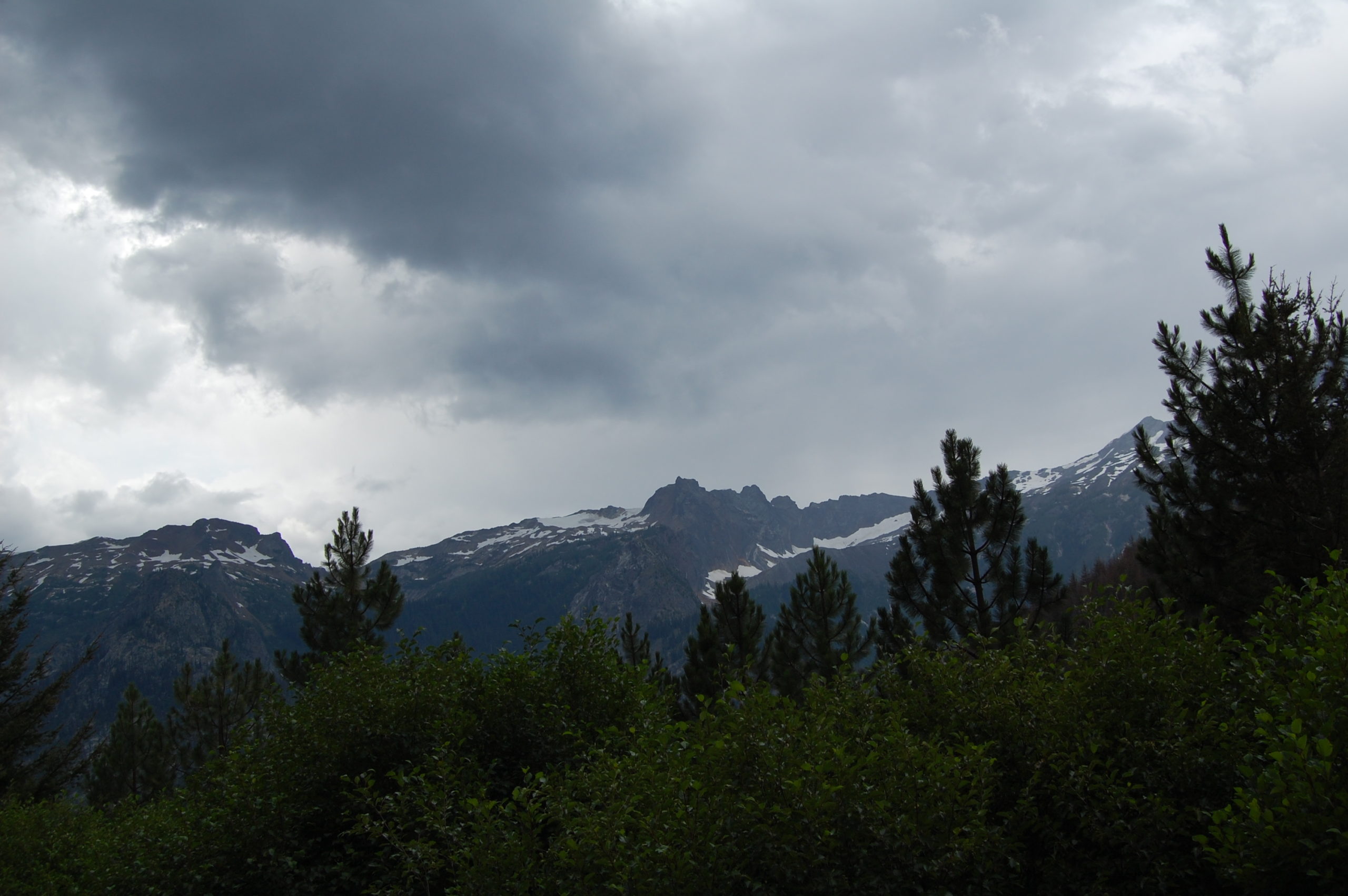
Views of Image Lake and of Dakobed (Glacier Peak) and surrounding mountains from deep in the Wilderness on the morning of the Third Day, Wednesday 29 July 2015.

“Off the Grid & gone. Solo. Well or unwell. Glacier Peak Wilderness will swallow me up. Reemergence in about a week. Been planning for a year. Going into the Deep High Lonesome. Adios.”

Those words were my Facebook post for Monday morning on the 27th of July before I left Seattle for the Glacier Peak Wilderness. Before my adventure was over, it had turned into a middle-aged man’s Hero’s Journey, a strange Quest of sorts, and on the last day there was a time I realized I might not make it out alive. I did, of course, despite developing what turned out to be rhabdomyolysis, as I share these words and pictures with all of you. My travels into the Deep High Lonesome proved transformative in slowly unfolding ways, ways I am aware of as I write these words well over a year afterwards.

2x.DSC_0007

Chiwawa River.  Looking upstream from a roadside campsite in the Okanogan-Wenatchee National Forest towards the Glacier Peak Wilderness Area. Day 1 on Monday the 27th of July 2015.

Another roadside campsite beckons, but I stop only to stretch my legs, relieve myself, and smell the fresh forest air of mountains & rivers.

Looking across the Chiwawa River into the Glacier Peak Wilderness from the same campground. The river’s running low, and the temperature’s rising. I’m the only person here at the moment. 

2x.DSC_0012

Dusty ass road walk with sand traps and dust devils. At least there wasn’t any mud! Parked my car at the Buck Creek Trailhead at Trinity (792.50 meters or 2,600 feet) and walked all the way back and then up the long Phelps Creek Road (USFSR#6211) towards the Phelps Creek Trailhead (1,066.80 m/3,500 ft) then on to Spider Meadows. I started walking from Trinity about 15:00 or 3:00 pm PDT in the afternoon of Day 1, Monday 27 July 2015.

Was reminded of the words of Doug Scott, the British mountaineer from Nottingham, England, who once pointed out when one goes into the mountains one must be prepared to die. Not wanting to die, of course, but mentally understanding and accepting the risk. Didn’t plan any alpine mountaineering, tho, as my intention is to trek and scramble cross-country in a physically demanding and remote part of this journey.

The section I planned to traverse off-trail from Buck Creek Pass up into the alpine zone towards and then down into the Upper Napeequa Valley was expected to be the most daunting. Scrambling thru High Pass on the way was one of the highlights I looked forward to experiencing. The Napeequa was notorious for being remote, difficult, fly-infested, and spectacular.

As I contemplate the possibility of dying amidst such magnificent beauty, however, I know I’ll be fine. Just what’s going thru my mind. In case this proved relevant for any search and rescue, which I hoped there wouldn’t be any need for. So, here I am, very much alive and ready for more. 

2x.DSC_0016

Selfie shot standing in the hot, dusty ass Phelps Creek Road. Gusts of wind swirls dust devils and flying sheets of grit. Even so, it is a beautiful day in the backcountry. I’m grateful to be here in the Great Outdoors.

Continue reading